What benefits does the X10AI Platform Deliver?
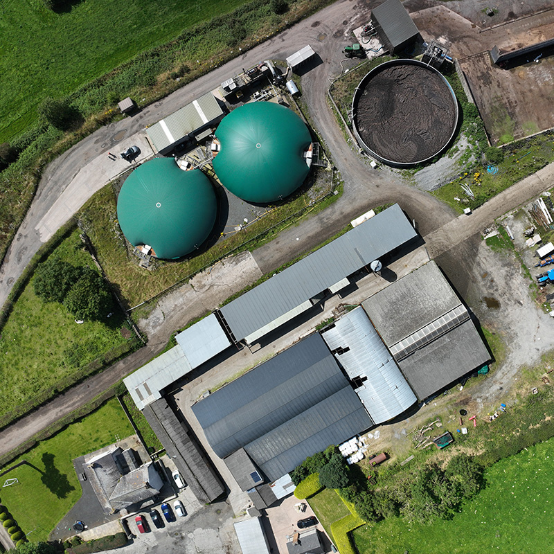
At its core, the x10AI platform delivers an AI-driven Measuring, Reporting and Verification (MRV) tool that maps, quantifies, and verifies the flows of nutrients (nitrogen, phosphorus) and carbon from livestock farms through to anaerobic digestion (AD) plants and the production of bio-based products including fertilisers, biochar, and biomethane. It transforms what was previously static and retrospective reporting into dynamic, real-time, decision-support tools that farmers, processors, regulators, and retailers can rely on.
New capabilities for Natural Capital & Biodiversity Net Gain assessment.
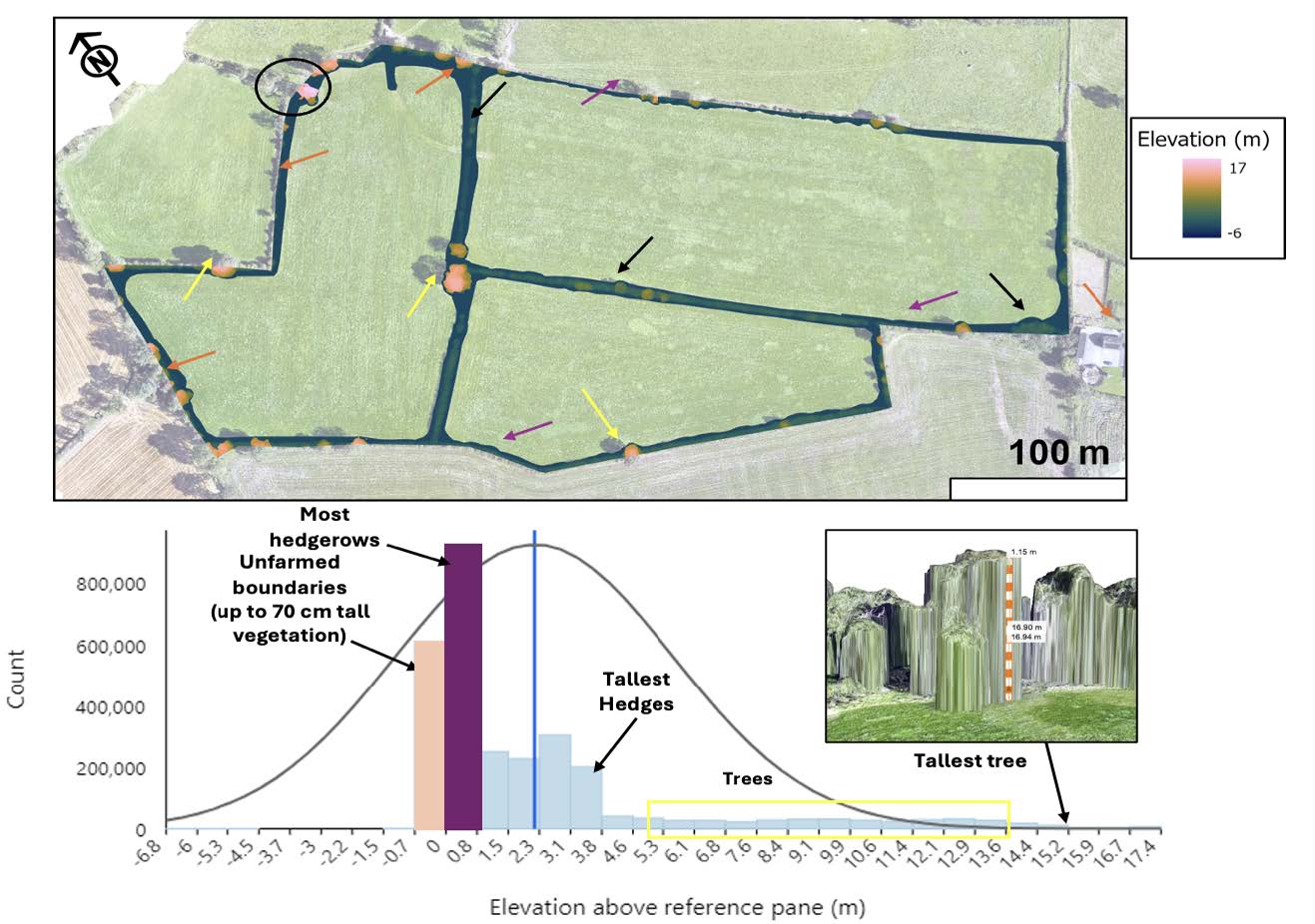
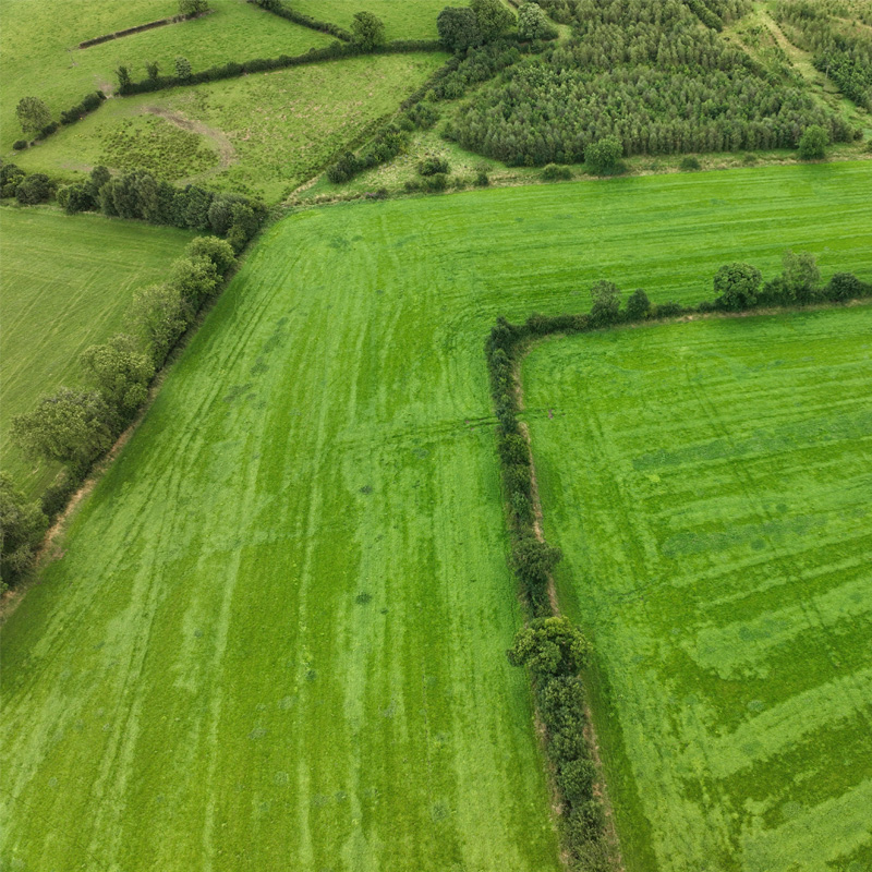
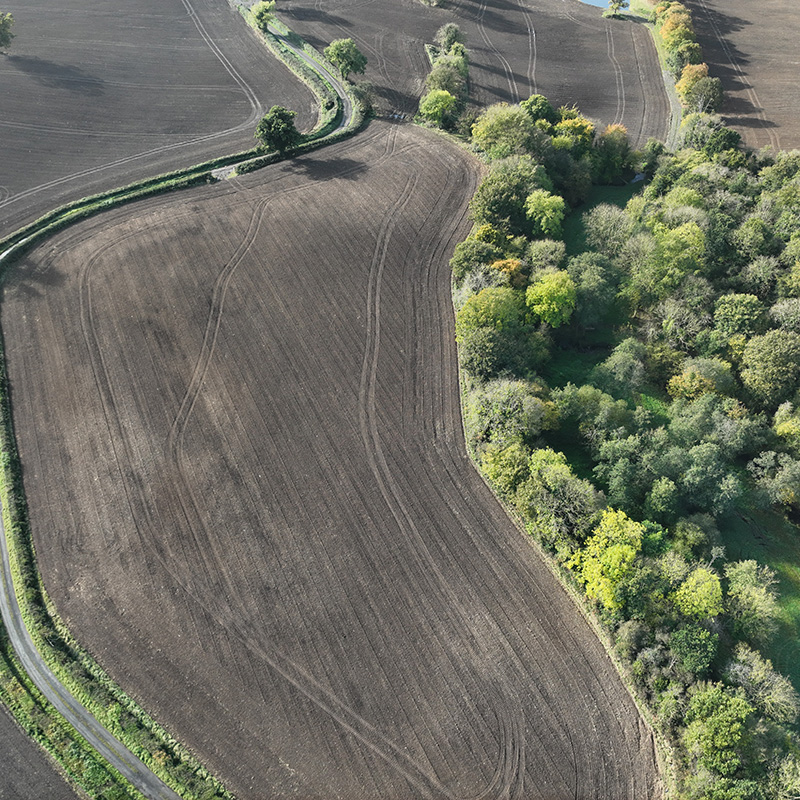
X10AI incorporates natural capital directly into its reporting framework, using high-resolution drone imagery, satellite data, and AI classification to map hedgerows, tree cover, riparian zones, and unfarmed margins. These features are no longer just landscape details — they are quantified, valued, and integrated into carbon and biodiversity reporting.
By linking habitat features to carbon sequestration, water protection, and biodiversity metrics, the platform enables farmers and supply chains to evidence Nature-Positive outcomes in line with UK Environmental Improvement Plans and Scope 3 targets. All data is presented in a clear, verifiable format ready for audit, policy submission, or ESG disclosure.
Compliance and reporting certainty at the touch of a button.
X10AI automates the generation of regulatory and supply chain reports, turning complex data into clear, compliant outputs at the click of a button. Nutrient management plans, carbon audits, ammonia reduction reports, and biodiversity summaries are all dynamically produced using live data from the digital twin.
Reports are fully aligned with current and upcoming requirements. This reduces the burden on farmers and advisors, ensures consistency and traceability, and provides retailers and regulators with trusted, verifiable insight — in real time and ready to share.
Already proven over +1,500 hectares of diverse farmland.
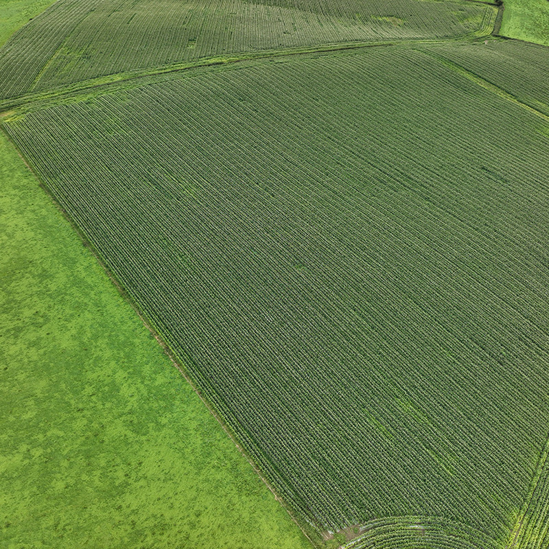
From nutrient tracking and emissions reporting to natural capital mapping and circular bio-economy integration, the X10AI digital twin and platform adapts to the needs of farmers, enabling simple, concise reporting to processors, retailers, and policymakers alike.
From promises to proof. From regulation to reward.
The X10AI digital platform represents a step change in how environmental performance is measured, managed, and reported across the livestock sector. Built on real-world data and proven across diverse farm systems, the platform delivers digital assurance for carbon, nutrients, water, and biodiversity – all through a single, scalable interface.
Whether for farmers seeking compliance, retailers needing traceability, or policymakers requiring evidence, the X10AI platform delivers trusted environmental intelligence – supporting sustainable agriculture, enabling evidence-based policy, and providing supply chain assurance.

