X10AI – Transforming Livestock Farming with Real-Time Environmental Intelligence
Developed by X10NI Ltd in collaboration with ABP & Queen’s University Belfast, X10AI Digitwin replaces outdated nutrient plans and static PDFs with live, AI-driven digital twins that track carbon, nitrogen, phosphorus, biodiversity and water impact in addition to providing further insights spanning compliance, land stewardship, and energy.
An unprecedented level of accountability, precision & insight.
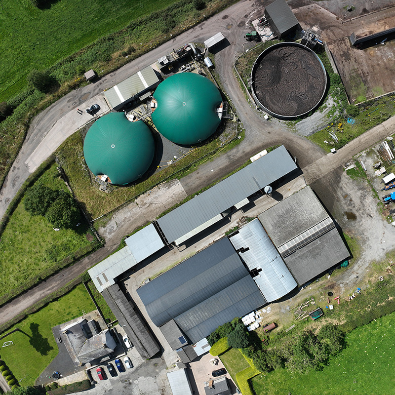
At its core, x10AI AGRISMART delivers an AI-driven Measuring, Reporting and Verification (MRV) platform that maps, quantifies, and verifies the flows of nutrients (nitrogen, phosphorus) and carbon from livestock farms through to anaerobic digestion (AD) plants and the production of bio-based products including fertilisers, biochar, and biomethane. It transforms what was previously static and retrospective reporting into dynamic, real-time, decision-support tools that farmers, processors, regulators, and retailers can rely on.
Credible, science-based evidence of sustainability performance & compliance.
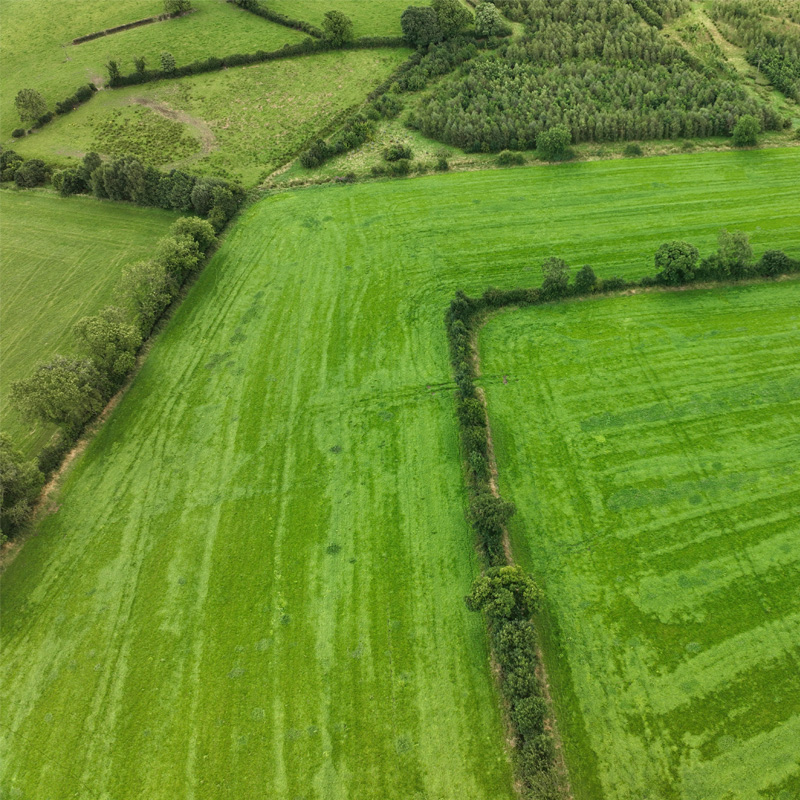
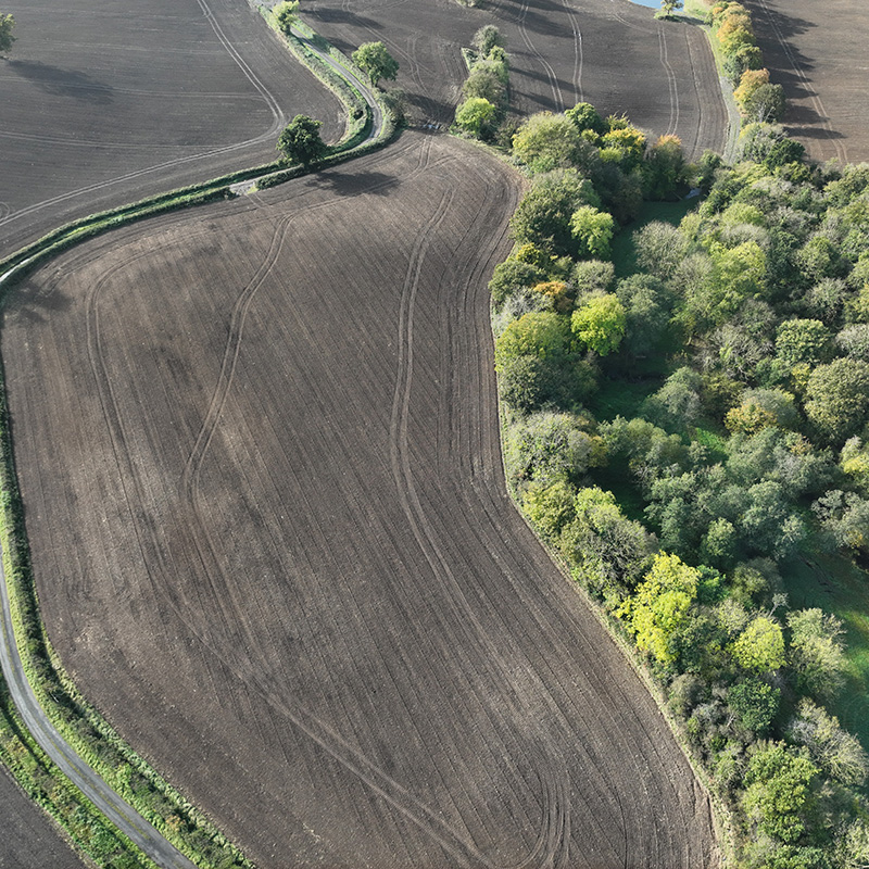
The x10AI AGRISMART Platform also delivers powerful new capabilities for Natural Capital and Biodiversity Net Gain assessment, using drone-based mapping and AI modelling to quantify hedgerows, tree cover, and boundary vegetation assets, as well as highlighting areas suitable for future planting, such as riparian zones.
Whether deployed on a single beef finishing unit or across multiple facilities, it delivers real-time visibility of carbon, nitrogen, phosphorus, water, and biodiversity flows – all on one digital platform. This versatility allows stakeholders to move beyond compliance, streamline reporting, and unlock new value through precision interventions, verified environmental outcomes, and participation in emerging carbon and nutrient credit markets.
Introducing the X10AI Digi-Twin
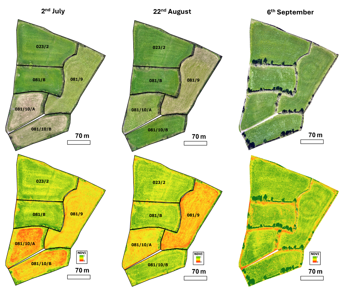
At the heart of the X10AI platform is the Digital Twin, a dynamic, AI-powered model of the farm and associated land that brings together satellite imagery, drone data, ground sensors, and user inputs to create a real-time mirror of environmental performance.
This technology tracks carbon, nitrogen, phosphorus, water flow, and biodiversity at a field level, providing clear, visual insight into how every input and output moves through the system. This enables precise nutrient balancing, targeted interventions, and automated compliance reporting – all grounded in verifiable data. For supply chains and regulators, the digital twin transforms environmental risk into a traceable, reportable asset.

